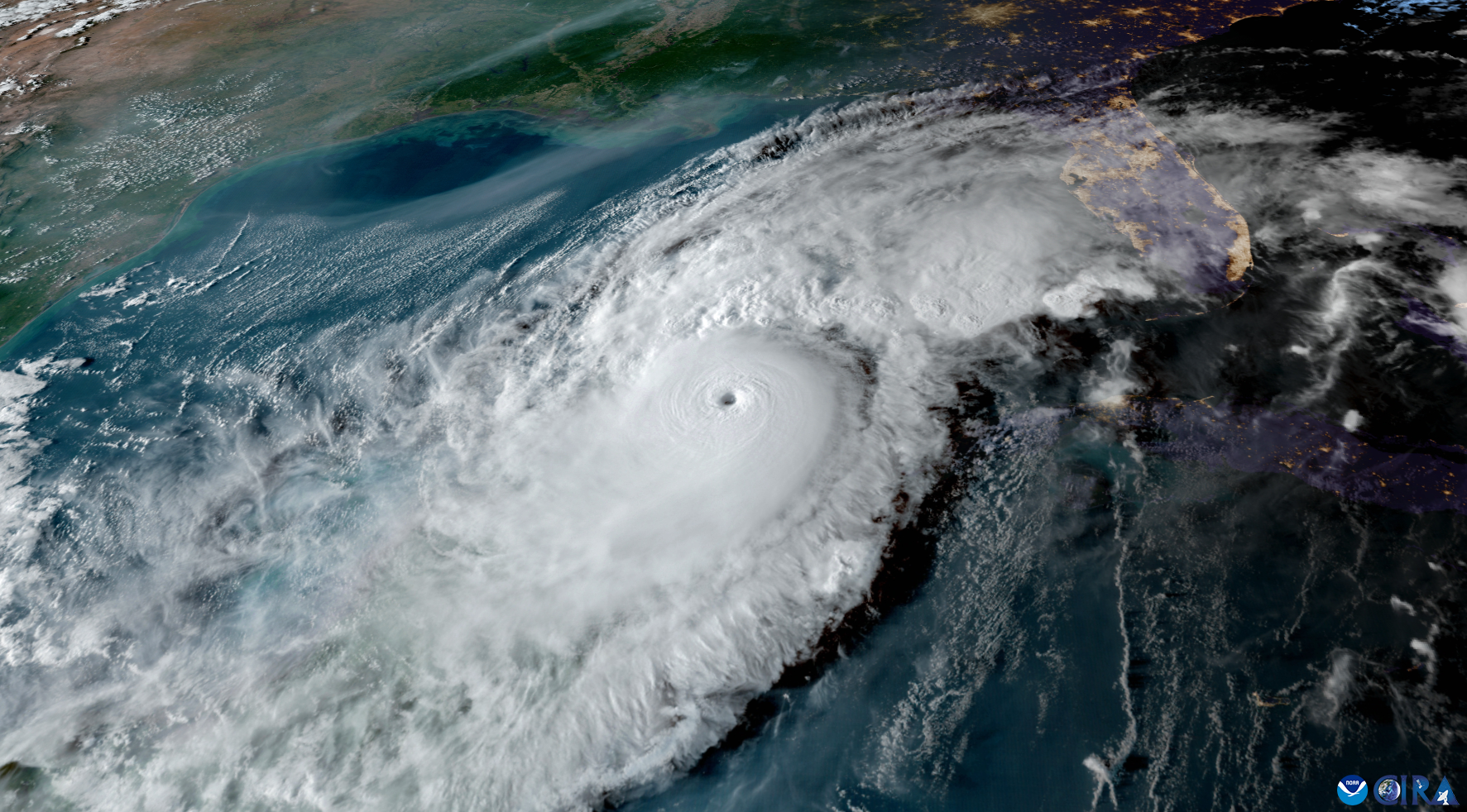
A low-pressure system churning in the Gulf of Mexico is pushing rain toward Sarasota, with showers expected through at least Wednesday and heavy downpours that could cause isolated flooding.
The National Weather Service's Tampa Bay office issued the outlook Monday, Nov. 16. NWS forecaster Davis wrote that a tight pressure gradient between high pressure to the north and low pressure to the south will drive elevated northeast winds through the week.
Moisture will increase ahead of the low-pressure system, raising rain chances early Tuesday, Nov. 17, and continuing through Wednesday. The NWS noted elevated rain chances across the forecast area from Tuesday through Thursday.
Heavy downpours could lead to isolated flooding, particularly in low-lying areas with slow drainage, according to the forecast discussion.
Where the heaviest rain will fall later in the week remains uncertain, the NWS said. The outcome depends on the strength and track of the low-pressure system as it drifts east across Florida.
What Sarasota can expect
The NWS point forecast for Sarasota calls for showers likely after 1 p.m. Tuesday, with a 70% chance of precipitation. The high will be near 75 degrees. Winds will be breezy out of the east-northeast at 13 to 17 mph, with gusts as high as 30 mph.
Tuesday night stays wet. Showers remain likely, with a low around 66 degrees and gusts up to 29 mph.
Wednesday brings a 40% chance of showers, with thunderstorms possible after 1 p.m. The high climbs to near 78 degrees, and east winds could gust to 24 mph. Rain chances drop to 30% Wednesday night.
Small Craft Advisory on Gulf waters
A Small Craft Advisory is in effect until 4 a.m. Saturday for Gulf waters from Bonita Beach to Suwannee River, including Charlotte Harbor, Pine Island Sound and Tampa Bay. The NWS expects hazardous marine conditions through at least Saturday as winds hold at advisory levels.