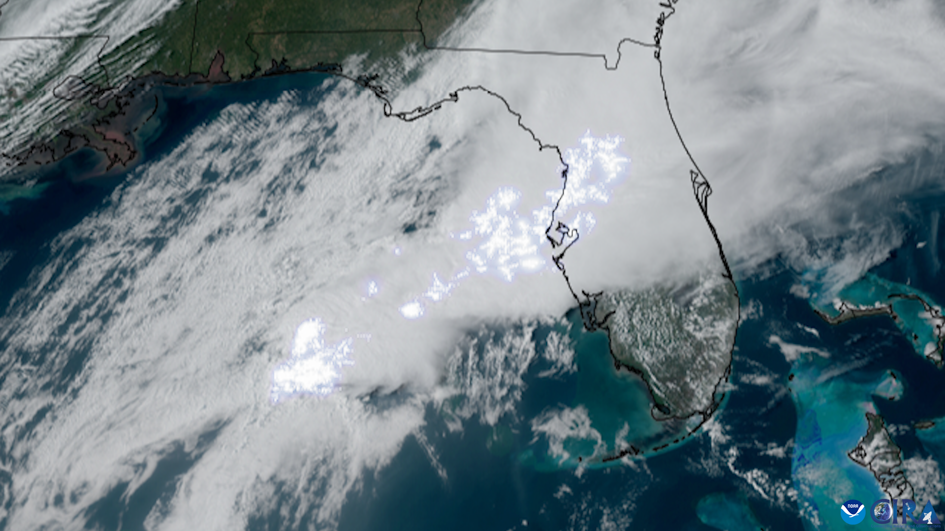
Thunderstorms rolling through Sarasota County early Thursday, July 30, knocked out power to more than 3,000 Florida Power & Light customers, hitting St. Armands, North Sarasota along Tuttle Avenue, and Ringling Park.
By 10 a.m., FP&L reported fewer than 1,000 customers remained without power, meaning crews restored service to more than 2,000 homes and businesses within the morning hours. Another 200-plus Manatee County customers also lost power during the same storm system, according to WWSB.
Flood Advisory covered wide swath of county
The National Weather Service issued a Flood Advisory for Sarasota and Manatee counties at 8:31 a.m. Thursday after 2 to 4 inches of rain had already fallen across parts of both counties. The advisory expired at 10:30 a.m.
The Tampa Bay Times reported the advisory covered locations including North Port, Gulf Gate Estates, The Meadows, Kensington Park, Saint Armands Key, Nokomis, Laurel, and Osprey.
The NWS warned that standing water on roads and in low-lying drainage areas would occur and cautioned drivers that as little as a quarter-inch of standing water can cause hydroplaning. The agency advised motorists not to drive into water of unknown depth.
Wet pattern expected through the weekend
The storms are not a one-day event. WWSB meteorologist John Scalzi said the Weather Prediction Center has placed the Suncoast in a zone of potential excessive rain for the next several days, with rain chances hovering around 70% both along the coast and farther inland.
Scalzi said scattered storms are expected Friday along the coast, with a better chance of showers Saturday and Sunday. Highs will reach the upper 80s to near 90 degrees, but humidity will push the heat index to 100 to 105 degrees, according to his forecast.
Individual storm cells could drop a half-inch or more of rain in a short time, leaving standing water on roads and in low-lying areas.
Rip current risk high through Friday
A high rip current risk remains in place for coastal Sarasota and Manatee counties through Friday evening at 8 p.m., according to the National Weather Service. The statement has been active since Wednesday, July 29. Onshore winds will keep surf conditions rough, and boaters should expect choppy bay waters, Gulf seas of 3 to 4 feet Friday, and gusty winds near storms.
No tropical systems are active in the Atlantic, Caribbean, or Gulf, and no tropical development is expected over the next seven days.
Beachgoers should stay near a lifeguard and avoid swimming directly against a rip current. Residents can report power outages to FP&L at 1-800-4-OUTAGE (1-800-468-8243).